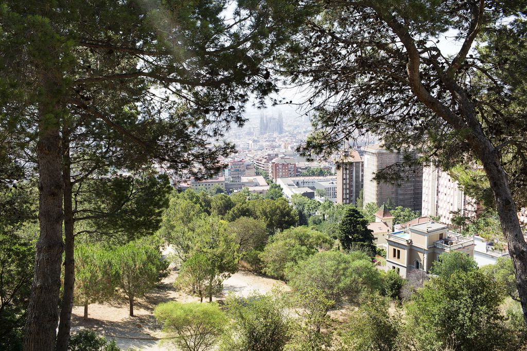
Introduction
Barcelona, along with the 40 other municipalities in its metropolitan conurbation, has been declared an atmospheric environment Special Protection Area (SPA), for both nitrogen dioxide and suspended particulate matter with a diameter of less than 10 microns. This means that these parameters show higher levels than those permitted by current legislation, with the corresponding risk to the environment and human health.
It has been calculated that chronic exposure to normal levels of atmospheric pollution, especially small particulates, is responsible for the premature death of hundreds of people every year, with a greater risk for people suffering from heart and lung illnesses, irregular cardiac rhythm, chronic asthma or respiratory problems. The city’s most worrying atmospheric pollutant is NO2, which mainly comes from motorised traffic combustion and, more especially, the predominance of diesel vehicles.
The following study, which works with data concerning the average annual immission levels for NO2 throughout 2018 and population data from the same year, offers a territorialised analysis of how atmospheric pollution affects the city of Barcelona, its neighbourhoods and demographic groups in the city as a whole
In regard to immission levels, the following illustrated maps use European Union (EU) and World Health Organisation (WHO) recommended thresholds, which establish that the annual average for NO2 should not exceed 40 µg/m3 and that the hourly average value for NO2.should not exceed 200 µg/m3 more than 18 times a year. With regard to the demographic groups, the analysis is adapted to the age groups used in the municipal register (0-4, 5-14, 15-34, 36-64, 65 and over), paying special attention to the more vulnerable population groups, such as new-born babies and senior citizens.
Atmospheric pollution
Emissions are defined as the quantity of a pollutant that ends up in the atmosphere from a particular source, e.g. the nitrogen oxides emitted by a discrete, mobile focus like a car, while immissions are the concentrations of a pollutant at each point within a territory, i.e. what someone breathes in at that location. Clearly the former and latter values may not be directly related, as the level of pollutants in a specific territorial environment may depend on both endogenous and exogenous sources for that area. This means that for one specific emission, we may have a very different immission at a certain location, as once the pollutant has been emitted to the atmosphere, it suffers physical and chemical transformations (especially transport and dispersion, but also chemical reactions, deposition, aggregation, etc.) which depend on the state of the atmosphere and vary over time.
The main anthropogenic sources of NO2 are private motor vehicles, thermal power plants and fuel combustion (petrol, diesel, liquefied petroleum gases and natural gas), energy recovery plants, cement factories, glass factories and refineries.
As mentioned above, the thresholds established by both the European Union and the WHO should not exceed an annual average of 40 µg/m3, while the hourly average for NO2 should not exceed 200 µg/m3 more than 18 times a year. In the case of NO2 immission levels, the annual average for the city of Barcelona is currently under the threshold and therefore complies with established levels. However, in 2018, two measuring stations (Eixample and Gràcia - Sant Gervasi) presented values that were above this limit.
Areas of risk
In Barcelona, the average annual NO2 immission levels above 40 µg/m3 are directly related to the city’s road network, and more specifically, to structural roads that connect the city with the Metropolitan Area, such as the Rondas [ring roads], Gran Via, La Meridiana, Diagonal, Via Augusta and Carrer Aragó. The road network in the Eixample also records high air-pollution levels. Therefore, people who go about their daily business – working, shopping, playing, studying, leisure, residing, etc. – near these roads with heavy traffic, are more exposed to contact with high concentrations of particulate pollutants, compared to people who go about their business in neighbourhoods where the streets do not have as much traffic.
Where the most vulnerable population is located
Although atmospheric pollution represents a risk to the population as a whole, it is possible to highlight some demographics that, because of age or state of health, are more exposed than others. In addition to people suffering from respiratory or cardiac pathologies, who were mentioned above, the demographic groups that are most vulnerable to atmospheric pollution, regardless of their state of health, are new-born babies and senior citizens.
Children, especially those who are between 0 and 3 years old, are especially susceptible to atmospheric pollution, because their immunological system has not fully developed. Senior citizens are vulnerable because of the cumulative effects of pollution, and because their bodies are less able to eliminate the pollutants.
Delimiting the most critical locations
With the aim of delimiting the areas subject to the greatest environmental and health risk due to atmospheric pollution, the following map cross-references territorialised information on immission levels – illustrated in the previous section – with two sets of demographic data:
1) the 2018 municipal register, broken down by age ranges (0-4, 5-14, 15-34, 36-64, 65 and over) on a scale of residential blocks, in order to find the highest residential densities; and
2) 2) public facilities, classified according to their type and linked to age groups, in order to identify city areas that are potentially most used by certain population groups.
Using the first data, it has been possible to delimit the areas with the highest densities of residents, broken down by age groups, while the second data has been instrumental for identifying city areas that are potentially more used by various population groups, based on the hypothesis that areas with the highest concentration of facilities are also those that receive a greater influx of these groups of people.
The aim of this exercise is to qualitatively highlight the areas that show an intersection of the highest risk-of-exposure values, cross-referenced with city blocks that have a higher than average density of registered city residents and with areas that have a high concentration of facilities for the age group being studied.
However, it is necessary to state that the question ‘Where is the most vulnerable population found?’ does not have one single answer, as the population moves around according to the time of day, their work and the activities they carry out in their free time. We must therefore take into account that these maps need to be read on a large scale and that it is necessary to contextualise risks globally.
The following map compares the population density for different age groups with the areas most exposed to atmospheric pollution.
By selecting a specific age group on the map, the analysed risk factor and the areas with the highest densities of that age group are superimposed.
It is estimated that nearly half of the population of all age groups registered in Barcelona live in these exposure areas. In regard to vulnerable people, approximately 35,000 are newborn babies and 20,000 are older than 65. In terms of facilities, nearly half of all the city’s facilities selected for this analysis are in contact with high levels of pollution: approximately 170 education centres, 241 children’s play areas (0-4 year-olds), and nearly 286 social-care centres for senior citizens.
The most critical areas of risk, due to a high concentration of public facilities and high population density, are those that are near main metropolitan connecting roads, with a high traffic density of private vehicles.
In this regard, many of the high-density neighbourhoods located next to the city limits present high risk exposure levels. This is the case for the neighbourhoods of Hostafrancs, Font de la Guatlla, Poblenou, El Besòs and El Maresme, touching Gran Via. It also occurs in the neighbourhood of La Sagrera, at La Meridiana, and the neighbourhoods of Prosperitat, Trinitat Nova, Verdum and Roquetes, on the uncovered part of Ronda de Dalt. The concentration of facilities for children and adolescents in this section of La Ronda should be noted.
Other neighbourhoods are located near the Ronda del Mig, where there is also a significant concentration of facilities, including La Salut, El Putxet i el Farró and Sarrià-Sant Gervasi. They are also critical areas of risk, especially for senior citizens, due to the high concentration of facilities for this age group located in these areas.
There are also a series of residential blocks with a lower level of vulnerability (50-60 µg/m3), which are more often located in the city’s central neighbourhoods. The most notable examples are in the neighbourhoods of the Antiga Esquerra de l’Eixample and the Nova Esquerra de l’Eixample, as well as the neighbourhoods of the Dreta de l’Eixample near Diagonal and Aragó, Sagrada Família and Camp d’en Grassot i Gràcia Nova, which are near Passeig de Sant Joan. The centrality of many of these areas clearly coincides with facilities that serve all age groups, which makes it difficult to identify a profile for the most affected people.
Lastly, there is another focus of attention concerning senior citizens in the area of the Barceloneta neighbourhood touching Ronda Litoral. There is no relevant concentration of facilities in this area for that age group, but there is a high resident population density exposed to those levels of immissions.
The coincidence of each of the four NO2 immission levels defined in this study with areas of greater population density and higher concentration of facilities generates a vulnerability gradient that is reflected in the following eight graphs:
| 1P. An average annual immission of 40 to 50 µg/m3 coinciding with concentrated population | 1PF. An average annual immission of 40 to 50 µg/m3 coinciding with concentrated population and public facilities |
| 2P. An average annual immission of 50 to 60 µg/m3 coinciding with concentrated population | 2PF. An average annual immission of 50 to 60 µg/m3 coinciding with concentrated population and public facilities |
| 3P. An average annual immission of 60 to 70 µg/m3 coinciding with concentrated population | 3PF. An average annual immission of 60 to 70 µg/m3 coinciding with concentrated population and public facilities |
| 4P. An average annual immission of 70 µg/m3 or more, coinciding with concentrated population | 4PF. An average annual immission of 70 µg/m3 or more, coinciding with concentrated population and public facilities |
The following map shows those city areas with the most population exposed to atmospheric pollution, by age group.
By selecting a specific age group on the map, the most critical points can be observed, where the analysed risk factor and the areas with the highest densities of that age group are superimposed.
Related actions
Taking into account that private transport is one of the main sources of immissions, any measures that seek to reduce the density of vehicles circulating on city roads with high traffic densities will be of vital importance for reducing the risk of atmospheric pollution for city residents.
Barcelona City Council has been working to ensure compliance with the EU and WHO maximum thresholds for many years, promoting measures that include traffic restrictions for the most polluting vehicles, declaring 95 km2 of the city as a Low Emission Zone, regulating parking, fostering public transport and the use of bicycles, and promoting electric vehicles.
Furthermore, the new Urban Mobility Plan (2019-2024, currently being drafted) proposes a change of mobility model that continues along the lines of the previous plan and places emphasis on travelling on foot, generating safe spaces for pedestrians and sustainable means of transport (bicycles and public transport), while proposing a reduction in the use and presence of private motor vehicles (cars and motorcycles).
Barcelona’s Resilience Programme is a new opportunity to highlight the efforts being made to introduce structural measures that combat air pollution.